Nanu Oya City
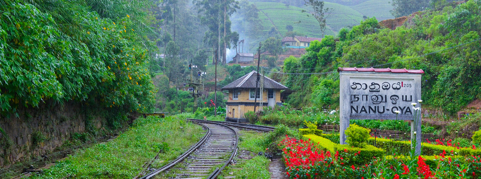
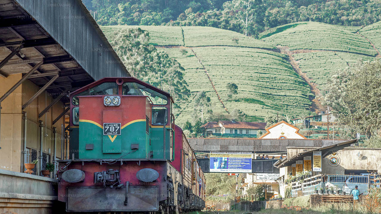
Nanu Oya: Quaint town in Sri Lanka's hill country, known for its cool climate, tea plantations, and as a railway station on the scenic route to Ella.
Nanu Oya
Nanu Oya to wieś na Sri Lance, nazwana na cześć rzeki Nanu Oya. Znajduje się on w dystrykcie Nuwara Eliya w prowincji centralnej, około 8 km od Nuwara Eliya.
O Nuwara Eliya
Nuwara Eliya to miasto w centralnej prowincji na Sri Lance. Znajduje się na wysokości 1868 m n.p.m., w centralnych wyżynach i jest uważany za jedno z najważniejszych miejsc produkcji herbaty na Sri Lance. Miasto jest pomijane przez Pidurutalagala, najwyższa góra na Sri Lance.
Ze względu na dużą wysokość, Nuwara Eliya ma znacznie chłodniejszy klimat niż niziny Sri Lanki, ze średnią roczną temperaturą 16 °C. Ale temperatura zmienia się i czasami może być jak 3°C. W miesiącach zimowych w nocy jest dość zimno, a nawet może być mróz. Chociaż szybko się nagrzewa, gdy tropikalne słońce wspina się wyżej w ciągu dnia.
Syngaleski i tamilski to główny język używany w Nuwara Eliya. Populacja jest mieszanką syngaleski, Tamil i Maurowie. Wielu pracowników plantacji herbaty to indyjscy Tamilowie, przywieziony na Sri Lankę przez Brytyjczyków w XIX wieku.
Park Narodowy Horton Plains i Victoria Park są główną atrakcją Nuwara Eliya.
O Prowincji Centralnej
Centralna prowincja Sri Lanki składa się głównie z górzystego terenu. Prowincja ma powierzchnię 5.674 km², a populacja 2,421,148. Niektóre większe miasta to Kandy, Gampola (24,730), Nuwara Eliya i Bandarawela. Populacja jest mieszanką syngaleski, Tamil i Maurowie.
Zarówno stolica wzgórza Kandy, jak i miasto Nuwara Eliya znajdują się w prowincji centralnej, a także na Sri Padzie. Prowincja produkuje wiele słynnej herbaty cejlońskiej, posadzonej przez Brytyjczyków w latach 60. XX wieku po niszczycielskiej chorobie, która zabiła wszystkie plantacje kawy w prowincji. Prowincja Centralna przyciąga wielu turystów, z miastami na wzgórzach, takimi jak Kandy, Gampola, Hatton i Nuwara Eliya. Ząb świątynny lub Dalada maligawa to główne święte miejsce w prowincji Centrel.
Klimat jest chłodny, a wiele obszarów około 1500 metrów często ma chłodne noce. Zachodnie zbocza są bardzo mokre, niektóre miejsca mają prawie 7000 mm deszczu rocznie. Wschodnie zbocza są częścią strefy średnio suchej, ponieważ pada deszcz tylko z północno-wschodniego monsunu. Temperatury wahają się od 24°C w Kandy do zaledwie 16°C w Nuwara Eliya, która znajduje się 1,889 m n.p.m. Najwyższe góry na Sri Lance znajdują się w prowincji centralnej. Teren jest przeważnie górzysty, z głębokimi dolinami. Dwa główne regiony górskie to centralny masyw i pasmo Knuckles na wschód od Kandy.
About Nuwara Eliya District
Nuwara Eliya is a town of central province in Sri Lanka. It is located at an altitude of 1,868 m (6,128 ft) in the central highlands and is considered one of the most important locations for Tea production in Sri Lanka. The town is overlooked by Pidurutalagala, the highest mountain in Sri Lanka.
Due to the high altitude, Nuwara Eliya has a much cooler climate than the lowlands of Sri Lanka, with a mean annual temperature of 16 °C. But the temperature changes and sometimes it can be like 3°C. In the winter months it is quite cold at night, and there can even be frost. Although it rapidly warms up as the tropical sun climbs higher during the day.
Sinhala and Tamil is the major language spoken in the Nuwara Eliya. The population is a mixture of Sinhalese, Tamil and the Moors. Many tea plantation workers are Indian Tamils, brought over to Sri Lanka by the British in the 19th century.
Horton Plains National Park and Victoria Park are main attraction in Nuwara Eliya.
About Central Province
The Central Province of Sri Lanka consists primarily of mountainous terrain. The province has an area of 5,674 km², and a population of 2,421,148. Some major towns include Kandy, Gampola (24,730), Nuwara Eliya and Bandarawela. The population is a mixture of Sinhalese, Tamil and the Moors.
Both the hill capital Kandy and the city of Nuwara Eliya are located within the Central Province as well as Sri Pada. The province produces much of the famous Ceylon tea, planted by the British in the 1860s after a devastating disease killed all the coffee plantations in the province. Central Province attracts many tourists, with hill station towns such as Kandy, Gampola, Hatton and Nuwara Eliya. Temple tooth or Dalada maligawa is the main sacred place in Centrel province.
The climate is cool, and many areas about 1500 meters often have chilly nights. The western slopes are very wet, some places having almost 7000 mm of rain per year. The eastern slopes are parts of the mid-dry zone as it is receiving rain only from North-Eastern monsoon. The Temperatures range from 24°C at Kandy to just 16°C in Nuwara Eliya, which is located 1,889 m above sea level. The highest mountains in Sri Lanka are located in the Central Province. The terrain is mostly mountainous, with deep valleys cutting into it. The two main mountain regions are the central massif and the Knuckles range to the east of Kandy.


